Mapping Historical Las Vegas: A Cartographic Journey
 Mapping Historical Las Vegas: A Cartographic Journey
By Joe Weber
Reno: University of Nevada Press, 2022
Softcover, 344 pages, $36
Reviewed by Ralph S. Wilcox
The book is liberally illustrated with more than 135 maps and photographs. I was pleasantly surprised that a book illustrated with so many maps wasn’t overly technical. Although Weber is currently a professor of geography at the University of Alabama, he grew up near Las Vegas. As a result, his intimate knowledge of Las Vegas and its surrounding area, including Boulder City, Hoover Dam, and Henderson, is apparent. Weber’s book begins with the natural setting in which Las Vegas developed, including the area’s allimportant water resources, which were vital in the initial settling of the region by the area’s indigenous groups and later by Mexicans and Mormons and the routing of the Old Spanish Trail. Initially, Las Vegas was a Mormon fort and rancho, but that changed in the early 20th century when surveyors for the railroad arrived.


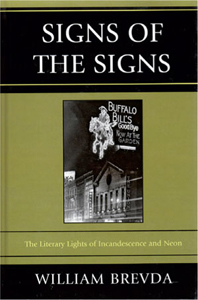
 Signs of the Signs: The Literary Lights of Incandescence and Neon
 Your Sheep Are All Counted: A Roadside Archeology of South of the Border Billboards