For the SCA’s 42nd Annual Conference in Wisconsin Dells, Wisconsin, Kevin Patrick, professor of geography and regional planning at Indiana University of Pennsylvania, produced this fascinating Field Trip Guide to enrich and contextualize our tours through the region. We are proud to republish it here.

Chula Vista Resort began as a 1920s lodge in the pines at the edge of the Upper Dells. Joe & Vera Kaminski took over the operation in 1951 and the Kaminski family has continued to improved and expand the resort
‘Wacky Wisconsin’ Field Trip Guide (Part 1)
By Kevin Patrick
Special thanks to the Wisconsin Historical Society, and the Dells Country Historical Society.
The Dells of the Wisconsin River
Wisconsin Dells sits just upstream of the Johnstown Moraine marking the western edge of the Green Bayglacial lobe, and the eastern edge of the Wisconsin River and flooding the future site of the Dells beneath 160 ft. deep glacial lake Wisconsin. As the glacier receded from the Baraboos 14,000 years ago the ice dam collapsed and the massive lake drained in about a week. Torrents of water scoured the lakebottom and the Cambrian sandstone beneath it creating the intricate network of cliffy ravines, gulches and rocky formations French fur trappers called the Dells of the Wisconsin River.

The Devil’s Elbow was a treacherous bend for lumbermen piloting rafts through the Dells, but a delight for tourists.
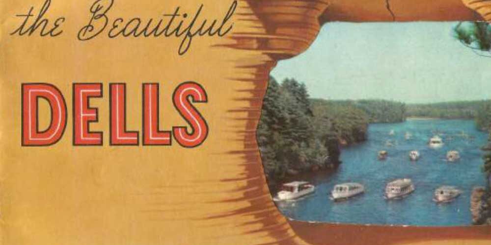
The swift flowing, narrow confines of the Dells were a hazard to lumbermen piloting rafts down the Wisconsin River, but a picturesque treasure trove to to develop show caves. Like a cave without a roof, a never-glaciated Driftless Area. During the Wisconsin glacial advance the Green Bay lobe lapped up against the eastern end of the Baraboo Hills damming the tourists who arrived just as the upstream forests were disappearing.

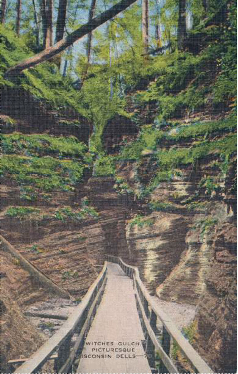
An early guide boat service offered to show tourists “weird and gruesome formations, grotesque and fantastic rock formations, and occult caves of the Dells.” This emotion-based interpretation of nature was the very essence of Romantic landscape tourism. Nature itself was orchestrated to present this view. With much effort, fallen timber was cleared and walkways construct to make Wishes Gulch into a more tourist-accessible “occult cave.”
There’s more! To read the rest of this guide, members are invited to log in (help). Not a member? We invite you to join.


1 Comment